Have an Art that’s Not a Heart!
SHOCKING

Colored Pencils, we Meet Again!
So I haven’t drawn in like 500 years. But I had some a lot of free time in the Airport on Monday night last week, plus some more yesterday, so here ya go.

Zyzzyva
Tonight I was bored so I Photoshopped the hell out of some of my art. Got some cool results.
Here’s “Chameleon” crystallized.

“Fractured Fresnel” with color halftone.

“Persistent Petals” with all sorts of things.

“Data” extruded twice (this is my favorite).

“Eyes of the Sphere” extruded once.

WOO!
Heartstrung
Heeeeeeeeeeeeey have a thing.
It sucks, but it’s a thing.

(I need to learn how to draw.)
I need more colored pencils.
Heeeeeeeey, have some airport art. Certainly not my best, but I didn’t have that much time in Seattle (which is abnormal) so this is all you get.

Spiraling
I done drawed!
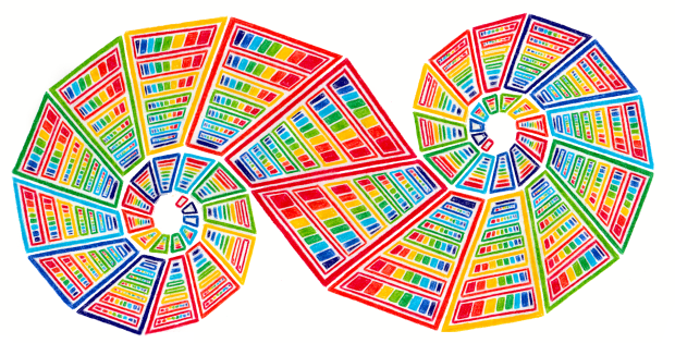
I told myself I wouldn’t spend the time finishing this tonight. I lied.
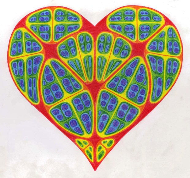
Hole-Heartedly
Not bad I suppose. Better than that last piece of crap I made.

I think I’m getting worse at drawing
I’m not even uploading this one to DeviantArt. It’s terrible. But since I have nothing to say today, you unfortunate buggers get to see it.

YAY.
Flrrs
I actually kind of sort of maybe like this one. Better than most of the crap I draw.

Skull
Blah Blahson.

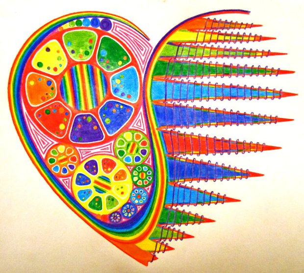
Heart of a Florist
Problem: I’m lonely and sad.
Solution: Watch Achievement Hunter vids and draw frou-frou crap.
Edit: here’s the frou-frou crap:

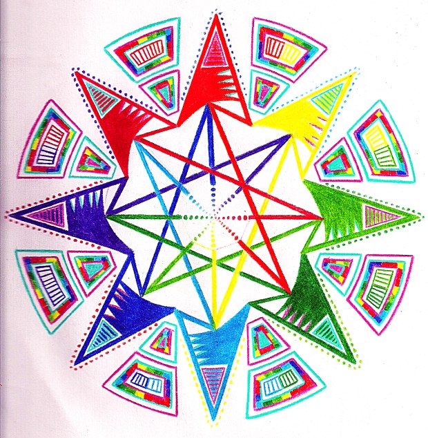
FEAR THE SPHERE
This suuuuuuuuuuuuuuuucks. Got nothing else today, though.

I Drew!
For the first time in like 500 years!

And I still suck!
Claudia Can’t Sleep
(Claudia can’t draw, either, but that won’t stop this blog from happening.)
Remember when I tried to draw the continental US without looking at a map?
Well now let’s try it with Canada! Apologies in advance. Rough sketch:

Oh gods. Manitoba has an oscillating border, Ontario is NOT SHAPED LIKE THAT, and I think I cut off like 6000 square kilometers from the east coast by Hudson Bay.
Let’s take the rough sketch and refine it a bit, eh?

Yeah, Ontario is still screwed up (the dangly bit that dips down into the US is a lot bigger than in the picture) and I have no idea what happens to the northern part of Nunavut (all I knew is that it breaks up in a triangle-like shape, haha), but I guess it could be worse.
Also, ever notice that a lot of the provinces resemble some US states (or vice versa I guess)?
Think about it:
- British Columbia is like a fat California.
- Alberta is like a stretched Nevada.
- Saskatchewan is North Dakota on its side.
- Manitoba is Minnesota with somewhat straighter eastern borders.
- Yukon is a giant New Hampshire.
- Nunavut is an upside down broken-up Texas.
Also, Canada has a hypothetical four corners like the US (Saskatchewan, Manitoba, NW Territories, Nunavut), but it’s in a super remote area and since the NW Territories/Nunavut boundary hasn’t been totally surveyed yet, they’re not sure if they meet at the corner of the Manitoba/Saskatchewan border.
Oh, Canada.
Sorry my posts suck; I’m busy, okay?!
Oh my god, this looks so calming. I should get this when I want to draw but can’t think of any ideas.
Which is always.
‘Cause I suck.
Oops, I arted.
It’s been like a century since I’ve drawn, eh? And wow, shocker, I’m still drawing the same old crap!

Thingy Majingy Doohickey Sticky
I, uh…I don’t remember drawing this. I think it’s pretty old.
Have an Art
It’s a heart.
Artz n’ Fartz

There are some parts where the complete lack of symmetry drives me nuts, but I’d say this isn’t too bad for abstaining from drawing since like August.
Vroom!
AAAAAAAAAAA BLOG TITLE!
IT’S A HEART! I’M REALLY HYPER THAT’S WHY YOU GET ALL CAPS.
FWOOSH!
THERE I FIXED IT.
The process of getting this scanned and posted on DeviantArt took way more effort than it was worth.
I BLEED LIGHTENING
Here’s a thing. I don’t feel like saying anything else today.

Have an Art
A crappy one, but an art.

(One day I’ll draw something good, I promise)
Dive! DIVE!
DRAWINGGGGGGGGGGGG!

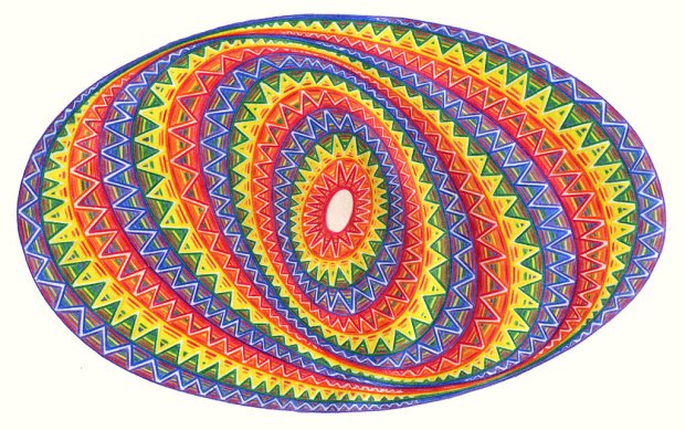
Egh, all they look the same. They calm me down though, so the world’s just going to have to deal.
“DON’T LET GAVIN WIN!!!”
It’s currently 7:30 AM on Sunday morning. The reason I’m posting this for Saturday’s blog is because I’ve been up for a LOOOOOOOOOONG time. I’ve been watching Achievement Hunter’s Let’s Play Minecraft series and drawing since about 6 PM.
The payoff?
New favorite Let’s Play Minecraft AND a new drawing!


